Willington Burn emerging from culvert
Introduction
The photograph on this page of Willington Burn emerging from culvert by Trevor Littlewood as part of the Geograph project.
The Geograph project started in 2005 with the aim of publishing, organising and preserving representative images for every square kilometre of Great Britain, Ireland and the Isle of Man.

There are currently over 7.5m images from over 14,400 individuals and you can help contribute to the project by visiting https://www.geograph.org.uk
Willington Burn emerging from culvert
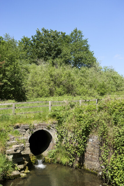
Image: © Trevor Littlewood Taken: 2 Jun 2023
At the beginning of June the burn is just a trickle as it emerges from the culvert (which is at least partly brick-lined), but the diameter of the tunnel suggests that it was constructed with the possibility of a far greater flow in mind. Here, along the path of the Weardale Way the burn is close to its confluence with the River Wear.
Images are licensed for reuse under creativecommons.org/licenses/by-sa/2.0
Image Location
Latitude
54.701625
Longitude
-1.691794