Stream between Brook Hill and Brookhill Wood
Introduction
The photograph on this page of Stream between Brook Hill and Brookhill Wood by steve as part of the Geograph project.
The Geograph project started in 2005 with the aim of publishing, organising and preserving representative images for every square kilometre of Great Britain, Ireland and the Isle of Man.

There are currently over 7.5m images from over 14,400 individuals and you can help contribute to the project by visiting https://www.geograph.org.uk
Stream between Brook Hill and Brookhill Wood
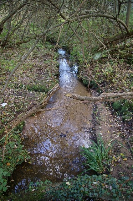
Image: © steve Taken: 5 Nov 2005
This stream flows south east from the Foxhall Road to Purdis Farm, then east into the River Deben. There are board walks beside it as the ground can be very swampy.
Images are licensed for reuse under creativecommons.org/licenses/by-sa/2.0
Image Location


Leaflet Map data © OpenStreetMap
Latitude
52.045612
Longitude
1.228677