Vicarage Lane, Burwash Common
Introduction
The photograph on this page of Vicarage Lane, Burwash Common by Simon Carey as part of the Geograph project.
The Geograph project started in 2005 with the aim of publishing, organising and preserving representative images for every square kilometre of Great Britain, Ireland and the Isle of Man.

There are currently over 7.5m images from over 14,400 individuals and you can help contribute to the project by visiting https://www.geograph.org.uk
Vicarage Lane, Burwash Common
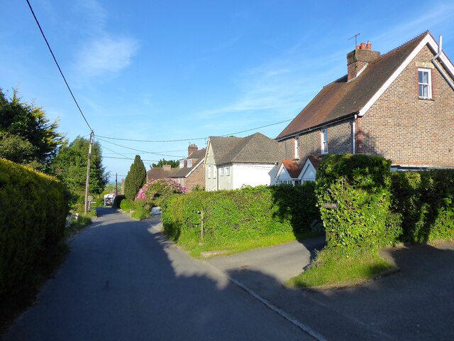
Image: © Simon Carey Taken: 29 May 2023
The semi-detached cottages on the right are Hill Cottage and Nook respectively, the white building is called Mandalay. Beyond that is Silverdale.
Images are licensed for reuse under creativecommons.org/licenses/by-sa/2.0
Image Location
Latitude
50.98524
Longitude
0.337994