Foots Lane
Introduction
The photograph on this page of Foots Lane by Simon Carey as part of the Geograph project.
The Geograph project started in 2005 with the aim of publishing, organising and preserving representative images for every square kilometre of Great Britain, Ireland and the Isle of Man.

There are currently over 7.5m images from over 14,400 individuals and you can help contribute to the project by visiting https://www.geograph.org.uk
Foots Lane
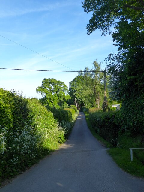
Image: © Simon Carey Taken: 29 May 2023
Private access lane that eventually ends at Henhurst Farm.
Images are licensed for reuse under creativecommons.org/licenses/by-sa/2.0
Image Location
Latitude
50.983646
Longitude
0.345751