Flush Bracket, Ballyclabber
Introduction
The photograph on this page of Flush Bracket, Ballyclabber by Rossographer as part of the Geograph project.
The Geograph project started in 2005 with the aim of publishing, organising and preserving representative images for every square kilometre of Great Britain, Ireland and the Isle of Man.

There are currently over 7.5m images from over 14,400 individuals and you can help contribute to the project by visiting https://www.geograph.org.uk
Flush Bracket, Ballyclabber
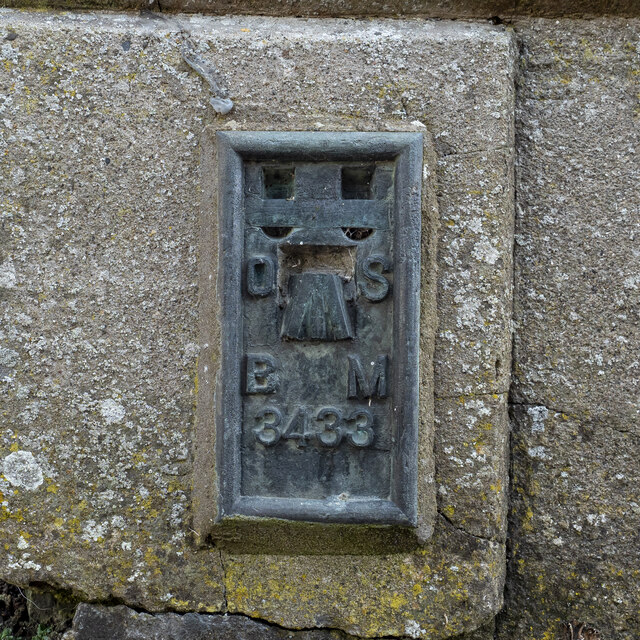
Image: © Rossographer Taken: 29 May 2023
Flush bracket bench mark on the north-western tip of Ballyclabber Reformed Presbyterian Church Image The number on the bracket is OSBM 3433. The mark has been levelled to 31.51 metres above MSL.
Images are licensed for reuse under creativecommons.org/licenses/by-sa/2.0
Image Location
Latitude
55.136385
Longitude
-6.628441