Park Farm, New Marston
Introduction
The photograph on this page of Park Farm, New Marston by Stephen McKay as part of the Geograph project.
The Geograph project started in 2005 with the aim of publishing, organising and preserving representative images for every square kilometre of Great Britain, Ireland and the Isle of Man.

There are currently over 7.5m images from over 14,400 individuals and you can help contribute to the project by visiting https://www.geograph.org.uk
Park Farm, New Marston
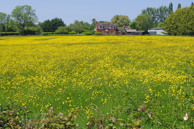
Image: © Stephen McKay Taken: 27 May 2023
The land between the River Cherwell and New Marston is meadowland, liable to flooding. Here this field with Park Farm in the background is carpeted with buttercups.
Images are licensed for reuse under creativecommons.org/licenses/by-sa/2.0
Image Location
Latitude
51.763201
Longitude
-1.242567