Pasture, Ashendon
Introduction
The photograph on this page of Pasture, Ashendon by Andrew Smith as part of the Geograph project.
The Geograph project started in 2005 with the aim of publishing, organising and preserving representative images for every square kilometre of Great Britain, Ireland and the Isle of Man.

There are currently over 7.5m images from over 14,400 individuals and you can help contribute to the project by visiting https://www.geograph.org.uk
Pasture, Ashendon
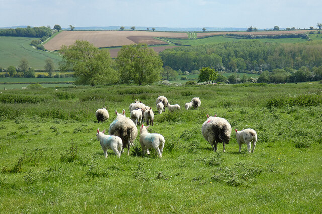
Image: © Andrew Smith Taken: 20 May 2023
Ewes and lambs in a rather weedy field crossed by the more easterly of the two footpaths south of Lower Pollicott.
Images are licensed for reuse under creativecommons.org/licenses/by-sa/2.0
Image Location
Latitude
51.808863
Longitude
-0.97912