Hartington Grove: roads closed
Introduction
The photograph on this page of Hartington Grove: roads closed by John Sutton as part of the Geograph project.
The Geograph project started in 2005 with the aim of publishing, organising and preserving representative images for every square kilometre of Great Britain, Ireland and the Isle of Man.

There are currently over 7.5m images from over 14,400 individuals and you can help contribute to the project by visiting https://www.geograph.org.uk
Hartington Grove: roads closed
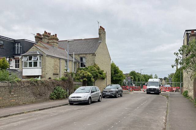
Image: © John Sutton Taken: 30 May 2023
Hartington Grove and Rock Road (which crosses here) are closed to vehicles while work continues on pipework.
Images are licensed for reuse under creativecommons.org/licenses/by-sa/2.0
Image Location


Leaflet Map data © OpenStreetMap
Latitude
52.187022
Longitude
0.141581