Footpath to Church Marshes Country Park
Introduction
The photograph on this page of Footpath to Church Marshes Country Park by Richard Dorrell as part of the Geograph project.
The Geograph project started in 2005 with the aim of publishing, organising and preserving representative images for every square kilometre of Great Britain, Ireland and the Isle of Man.

There are currently over 7.5m images from over 14,400 individuals and you can help contribute to the project by visiting https://www.geograph.org.uk
Footpath to Church Marshes Country Park
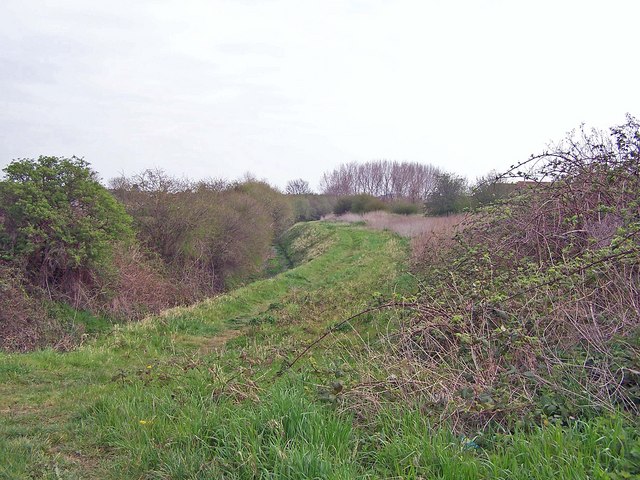
Image: © Richard Dorrell Taken: 4 Apr 2008
This path follows the drainage channel (almost dry in this picture) round the flood bund to the newly created Church Marshes Country Park.
Images are licensed for reuse under creativecommons.org/licenses/by-sa/2.0
Image Location
Latitude
51.359448
Longitude
0.737104