Totton snarl-up
Introduction
The photograph on this page of Totton snarl-up by John Lucas as part of the Geograph project.
The Geograph project started in 2005 with the aim of publishing, organising and preserving representative images for every square kilometre of Great Britain, Ireland and the Isle of Man.

There are currently over 7.5m images from over 14,400 individuals and you can help contribute to the project by visiting https://www.geograph.org.uk
Totton snarl-up
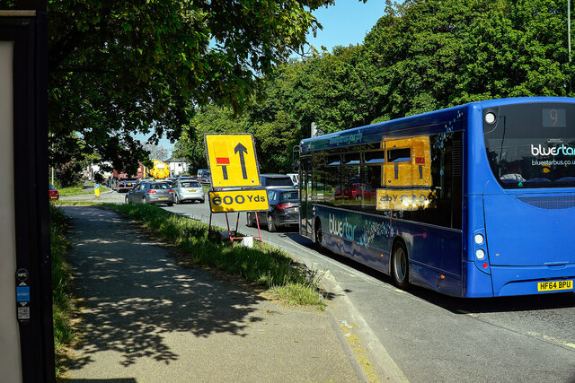
Image: © John Lucas Taken: 24 May 2023
Repairs to the road bridge at Redbridge have been ongoing since January and set to continue until July. As a result, this is a common sight on Totton by-pass.
Images are licensed for reuse under creativecommons.org/licenses/by-sa/2.0
Image Location
Latitude
50.913641
Longitude
-1.490003