Path, Forge Wood, Crawley
Introduction
The photograph on this page of Path, Forge Wood, Crawley by Robin Webster as part of the Geograph project.
The Geograph project started in 2005 with the aim of publishing, organising and preserving representative images for every square kilometre of Great Britain, Ireland and the Isle of Man.

There are currently over 7.5m images from over 14,400 individuals and you can help contribute to the project by visiting https://www.geograph.org.uk
Path, Forge Wood, Crawley
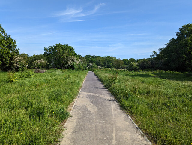
Image: © Robin Webster Taken: 29 May 2023
A large area in the flood zone from the Gatwick Stream has been left undeveloped apart from a network of paths.
Images are licensed for reuse under creativecommons.org/licenses/by-sa/2.0
Image Location
Latitude
51.136643
Longitude
-0.157113