Bryn-Hir Farm buildings
Introduction
The photograph on this page of Bryn-Hir Farm buildings by John Fielding as part of the Geograph project.
The Geograph project started in 2005 with the aim of publishing, organising and preserving representative images for every square kilometre of Great Britain, Ireland and the Isle of Man.

There are currently over 7.5m images from over 14,400 individuals and you can help contribute to the project by visiting https://www.geograph.org.uk
Bryn-Hir Farm buildings
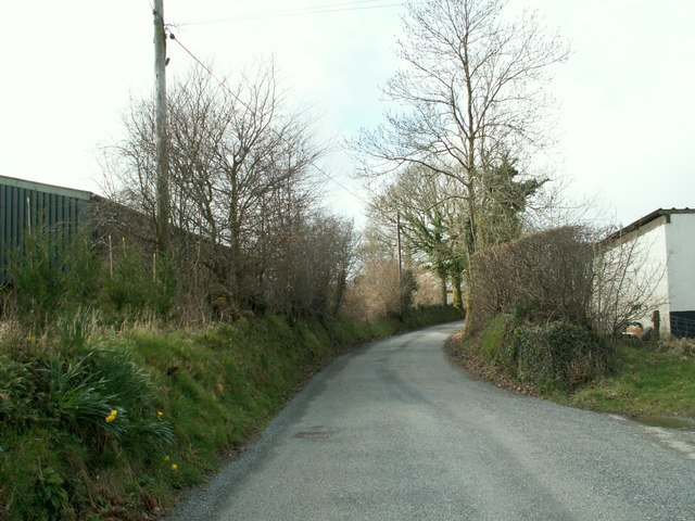
Image: © John Fielding Taken: 31 Mar 2008
The lane eventually joins the B4578 at Rhattial.
Images are licensed for reuse under creativecommons.org/licenses/by-sa/2.0
Image Location
Latitude
52.200803
Longitude
-4.017325