Coille Ghillidh/Coillegillie
Introduction
The photograph on this page of Coille Ghillidh/Coillegillie by Gordon Hatton as part of the Geograph project.
The Geograph project started in 2005 with the aim of publishing, organising and preserving representative images for every square kilometre of Great Britain, Ireland and the Isle of Man.

There are currently over 7.5m images from over 14,400 individuals and you can help contribute to the project by visiting https://www.geograph.org.uk
Coille Ghillidh/Coillegillie
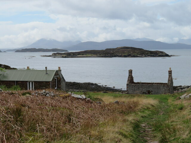
Image: © Gordon Hatton Taken: 9 May 2023
Such an interesting place that the OS named it twice, with a variation between the current series and my own map of 2002. This must have been a crofting community rather than one where fishing was the main occupation as there's no safe landing place for boats. Now there's a small collection of houses which are occasionally inhabited and one or two ruins. The seaward view extends out past the small island of Eilean na Ba, which I assume is the island of the cattle, whilst beyond is Scalpay and Skye.
Images are licensed for reuse under creativecommons.org/licenses/by-sa/2.0
Image Location


Leaflet Map data © OpenStreetMap
Latitude
57.37964
Longitude
-5.827403