Former stables, Barnwood
Introduction
The photograph on this page of Former stables, Barnwood by Stephen Richards as part of the Geograph project.
The Geograph project started in 2005 with the aim of publishing, organising and preserving representative images for every square kilometre of Great Britain, Ireland and the Isle of Man.

There are currently over 7.5m images from over 14,400 individuals and you can help contribute to the project by visiting https://www.geograph.org.uk
Former stables, Barnwood
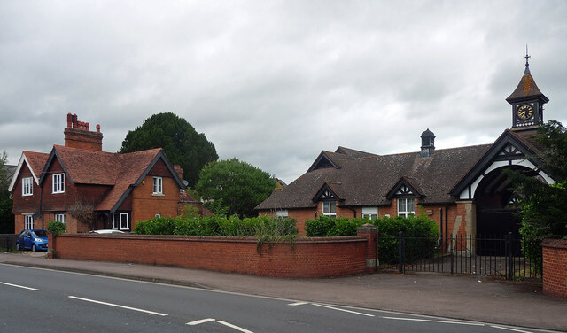
Image: © Stephen Richards Taken: 21 Aug 2015
Stables, 1873, and tile-hung cottages, 1898, formerly associated with Barnwood House Hospital (now demolished).
Images are licensed for reuse under creativecommons.org/licenses/by-sa/2.0
Image Location
Latitude
51.860948
Longitude
-2.203249