Power base at Easter Howlaws
Introduction
The photograph on this page of Power base at Easter Howlaws by M J Richardson as part of the Geograph project.
The Geograph project started in 2005 with the aim of publishing, organising and preserving representative images for every square kilometre of Great Britain, Ireland and the Isle of Man.

There are currently over 7.5m images from over 14,400 individuals and you can help contribute to the project by visiting https://www.geograph.org.uk
Power base at Easter Howlaws
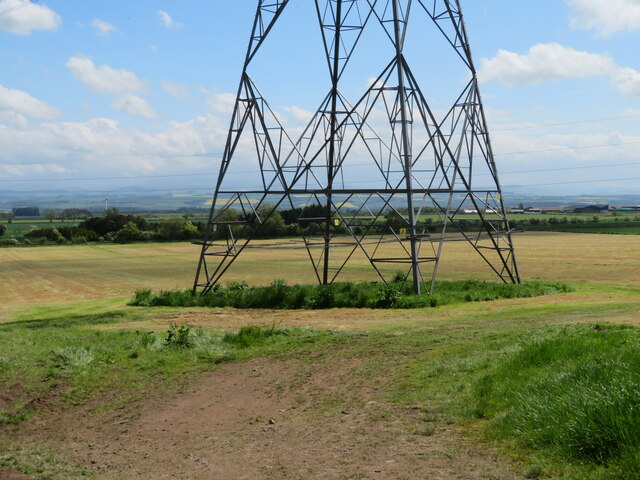
Image: © M J Richardson Taken: 25 May 2023
Looking across a recently-harvested silage field to the Lambden Burn valley, and the broader valley of the River Tweed beyond.
Images are licensed for reuse under creativecommons.org/licenses/by-sa/2.0
Image Location
Latitude
55.674941
Longitude
-2.438504