CS1 near Moor Park Close
Introduction
The photograph on this page of CS1 near Moor Park Close by DS Pugh as part of the Geograph project.
The Geograph project started in 2005 with the aim of publishing, organising and preserving representative images for every square kilometre of Great Britain, Ireland and the Isle of Man.

There are currently over 7.5m images from over 14,400 individuals and you can help contribute to the project by visiting https://www.geograph.org.uk
CS1 near Moor Park Close
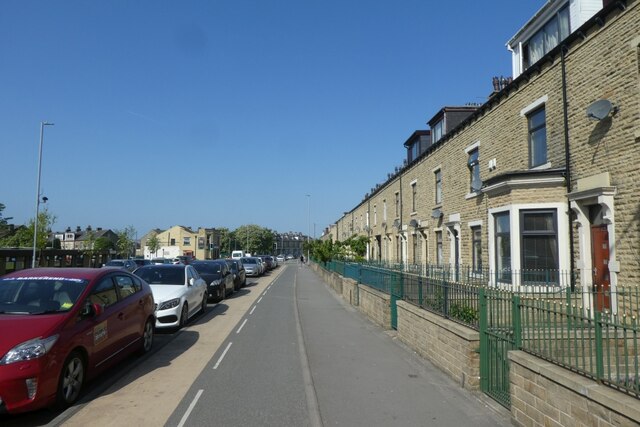
Image: © DS Pugh Taken: 26 May 2023
CS1, the Leeds-Bradford cycle superhighway running along part of Barkerend Road.
Images are licensed for reuse under creativecommons.org/licenses/by-sa/2.0
Image Location
Latitude
53.798291
Longitude
-1.721223