Lane at Amberley
Introduction
The photograph on this page of Lane at Amberley by Derek Harper as part of the Geograph project.
The Geograph project started in 2005 with the aim of publishing, organising and preserving representative images for every square kilometre of Great Britain, Ireland and the Isle of Man.

There are currently over 7.5m images from over 14,400 individuals and you can help contribute to the project by visiting https://www.geograph.org.uk
Lane at Amberley
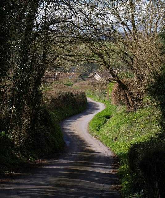
Image: © Derek Harper Taken: 30 Mar 2008
The lane from Amberley Farm towards Kerswell Cross follows a sinuous course as it drops to the Kate Brook valley.
Images are licensed for reuse under creativecommons.org/licenses/by-sa/2.0
Image Location
Latitude
50.610039
Longitude
-3.575492