Estate road descending towards farm buildings
Introduction
The photograph on this page of Estate road descending towards farm buildings by Trevor Littlewood as part of the Geograph project.
The Geograph project started in 2005 with the aim of publishing, organising and preserving representative images for every square kilometre of Great Britain, Ireland and the Isle of Man.

There are currently over 7.5m images from over 14,400 individuals and you can help contribute to the project by visiting https://www.geograph.org.uk
Estate road descending towards farm buildings
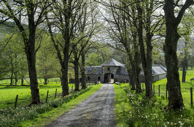
Image: © Trevor Littlewood Taken: 16 May 2023
The road is descending from the vicinity of Auchleeks House to the buildings in the image which seem to be known as Doocot Cottage, (or to contain it). To the right of the archway into the courtyard there's an OS flush bracket, No. G1084.
Images are licensed for reuse under creativecommons.org/licenses/by-sa/2.0
Image Location
Latitude
56.755215
Longitude
-4.061877