Addingham Scout Hut
Introduction
The photograph on this page of Addingham Scout Hut by John Sparshatt as part of the Geograph project.
The Geograph project started in 2005 with the aim of publishing, organising and preserving representative images for every square kilometre of Great Britain, Ireland and the Isle of Man.

There are currently over 7.5m images from over 14,400 individuals and you can help contribute to the project by visiting https://www.geograph.org.uk
Addingham Scout Hut
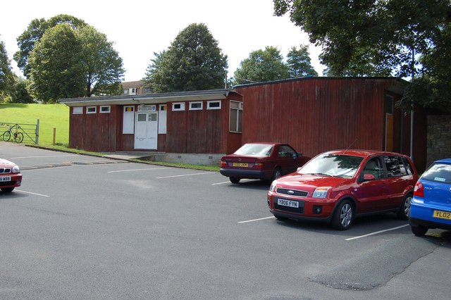
Image: © John Sparshatt Taken: 8 Aug 2007
Due to be demolished to make way for a medical centre and not being replaced on usage and cost grounds.
Images are licensed for reuse under creativecommons.org/licenses/by-sa/2.0
Image Location
Latitude
53.94335
Longitude
-1.880221