Ford and footbridge
Introduction
The photograph on this page of Ford and footbridge by Jonathan Billinger as part of the Geograph project.
The Geograph project started in 2005 with the aim of publishing, organising and preserving representative images for every square kilometre of Great Britain, Ireland and the Isle of Man.

There are currently over 7.5m images from over 14,400 individuals and you can help contribute to the project by visiting https://www.geograph.org.uk
Ford and footbridge
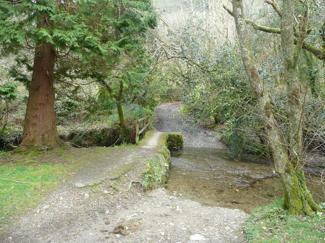
Image: © Jonathan Billinger Taken: 3 Apr 2008
Here the metalled road ends at Milltown, a footpath continuing on. The river is the Cardinham Water which flows south-west to meet the Fowey.
Images are licensed for reuse under creativecommons.org/licenses/by-sa/2.0
Image Location
Latitude
50.483154
Longitude
-4.657412