Caerau
Introduction
The photograph on this page of Caerau by Richard Webb as part of the Geograph project.
The Geograph project started in 2005 with the aim of publishing, organising and preserving representative images for every square kilometre of Great Britain, Ireland and the Isle of Man.

There are currently over 7.5m images from over 14,400 individuals and you can help contribute to the project by visiting https://www.geograph.org.uk
Caerau
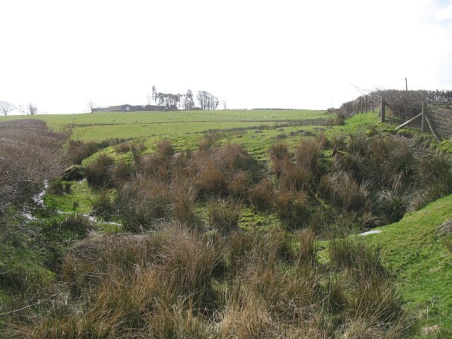
Image: © Richard Webb Taken: 1 Apr 2008
A wet field bottom below Caerau. The name suggests a fort, and there was a Roman settlement here. I expect Pumsaint gold and lead from the hills nearby had something to do with the Romans being here.
Images are licensed for reuse under creativecommons.org/licenses/by-sa/2.0
Image Location
Latitude
52.13975
Longitude
-3.574554