Old Boundary Marker on the B4090
Introduction
The photograph on this page of Old Boundary Marker on the B4090 by Roadside Relics as part of the Geograph project.
The Geograph project started in 2005 with the aim of publishing, organising and preserving representative images for every square kilometre of Great Britain, Ireland and the Isle of Man.

There are currently over 7.5m images from over 14,400 individuals and you can help contribute to the project by visiting https://www.geograph.org.uk
Old Boundary Marker on the B4090
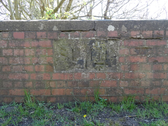
Image: © Roadside Relics Taken: 20 Apr 2023
Parish Boundary Marker set in the parapet of the bridge over Seeley Brook on the south side of the B4090 Salt Road. Inscribed S B for Stock and Bradley parish and H P for Hanbury Parish, separated by a vertical line. Milestone Society National ID: WO_HASTBR02pb
Images are licensed for reuse under creativecommons.org/licenses/by-sa/2.0
Image Location
Latitude
52.257004
Longitude
-2.027278