Low water. Allt an Lagain
Introduction
The photograph on this page of Low water. Allt an Lagain by Gordon Hatton as part of the Geograph project.
The Geograph project started in 2005 with the aim of publishing, organising and preserving representative images for every square kilometre of Great Britain, Ireland and the Isle of Man.

There are currently over 7.5m images from over 14,400 individuals and you can help contribute to the project by visiting https://www.geograph.org.uk
Low water. Allt an Lagain
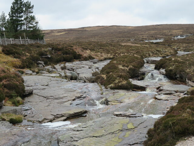
Image: © Gordon Hatton Taken: 1 May 2023
Compared to most other contributors photos of this stream, the water levels in the spring of 2023 appear to be very low.
Images are licensed for reuse under creativecommons.org/licenses/by-sa/2.0
Image Location
Latitude
58.491459
Longitude
-4.72521