Wales Avenue
Introduction
The photograph on this page of Wales Avenue by Ian Capper as part of the Geograph project.
The Geograph project started in 2005 with the aim of publishing, organising and preserving representative images for every square kilometre of Great Britain, Ireland and the Isle of Man.

There are currently over 7.5m images from over 14,400 individuals and you can help contribute to the project by visiting https://www.geograph.org.uk
Wales Avenue
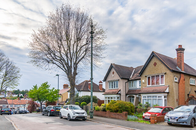
Image: © Ian Capper Taken: 26 Apr 2023
Looking along Wales Avenue, a road first marked on the 1896 25 inch map as a cul-de-sac with limited development and more fully developed on the 1913 edition but still a cul-de-sac, ending at nos 20 & 22, the houses on the right in this photo. A full extension westwards through to Harrow Road is shown on the 1935 edition. In the centre of the photo is the sewer vent column in Image
Images are licensed for reuse under creativecommons.org/licenses/by-sa/2.0
Image Location
Latitude
51.361671
Longitude
-0.17092