Private road
Introduction
The photograph on this page of Private road by Richard Sutcliffe as part of the Geograph project.
The Geograph project started in 2005 with the aim of publishing, organising and preserving representative images for every square kilometre of Great Britain, Ireland and the Isle of Man.

There are currently over 7.5m images from over 14,400 individuals and you can help contribute to the project by visiting https://www.geograph.org.uk
Private road
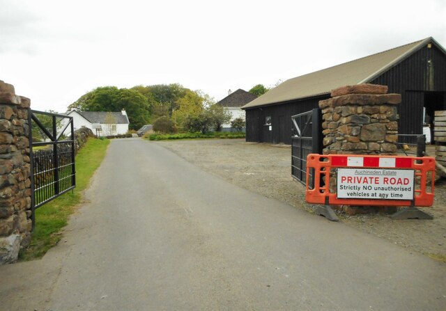
Image: © Richard Sutcliffe Taken: 18 May 2023
No unauthorised vehicles are permitted at any time. The road leads to Auchineden Farm and then on to a Scottish Water treatment plant before continuing to Burncrooks Reservoir.
Images are licensed for reuse under creativecommons.org/licenses/by-sa/2.0
Image Location
Latitude
55.985466
Longitude
-4.384312