Path junction, Peacehaven
Introduction
The photograph on this page of Path junction, Peacehaven by Robin Webster as part of the Geograph project.
The Geograph project started in 2005 with the aim of publishing, organising and preserving representative images for every square kilometre of Great Britain, Ireland and the Isle of Man.

There are currently over 7.5m images from over 14,400 individuals and you can help contribute to the project by visiting https://www.geograph.org.uk
Path junction, Peacehaven
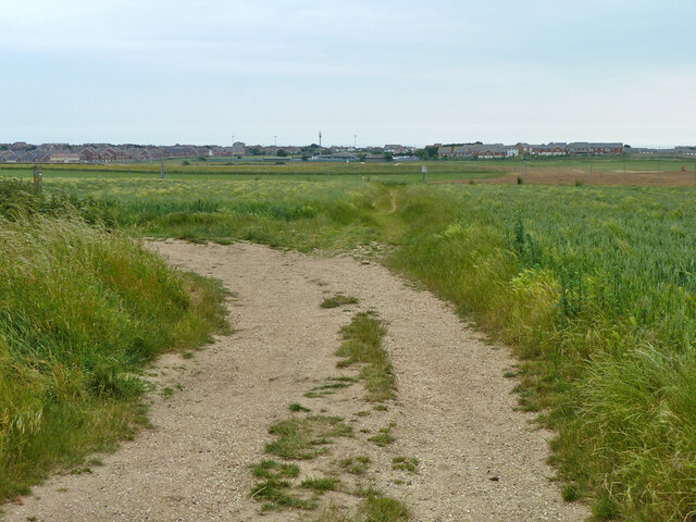
Image: © Robin Webster Taken: 26 Jun 2013
Bridleway Peacehaven 7a goes straight on, becoming 7b, footpath Peacehaven 16a goes left, following the track.
Images are licensed for reuse under creativecommons.org/licenses/by-sa/2.0
Image Location
Latitude
50.799733
Longitude
0.012954