The centre of this image is approximately where Higher Raleigh Road crosses North Road
Introduction
The photograph on this page of The centre of this image is approximately where Higher Raleigh Road crosses North Road by Roger A Smith as part of the Geograph project.
The Geograph project started in 2005 with the aim of publishing, organising and preserving representative images for every square kilometre of Great Britain, Ireland and the Isle of Man.

There are currently over 7.5m images from over 14,400 individuals and you can help contribute to the project by visiting https://www.geograph.org.uk
The centre of this image is approximately where Higher Raleigh Road crosses North Road
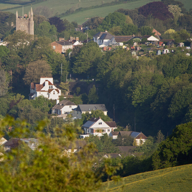
Image: © Roger A Smith Taken: 17 May 2023
To the left is the tower of St. Mary's Church, Pilton. To the right are allotment gardens.
Images are licensed for reuse under creativecommons.org/licenses/by-sa/2.0
Image Location
Latitude
51.088008
Longitude
-4.056902