Field off the Maltlands
Introduction
The photograph on this page of Field off the Maltlands by s as part of the Geograph project.
The Geograph project started in 2005 with the aim of publishing, organising and preserving representative images for every square kilometre of Great Britain, Ireland and the Isle of Man.

There are currently over 7.5m images from over 14,400 individuals and you can help contribute to the project by visiting https://www.geograph.org.uk
Field off the Maltlands
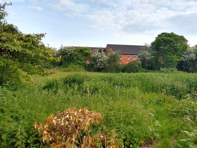
Image: © s Taken: 17 May 2023
The houses in the background on Sloe Close were built in 2002.
Images are licensed for reuse under creativecommons.org/licenses/by-sa/2.0
Image Location
Latitude
51.349277
Longitude
-2.935783