Waldron Road, Gedling
Introduction
The photograph on this page of Waldron Road, Gedling by Alan Murray-Rust as part of the Geograph project.
The Geograph project started in 2005 with the aim of publishing, organising and preserving representative images for every square kilometre of Great Britain, Ireland and the Isle of Man.

There are currently over 7.5m images from over 14,400 individuals and you can help contribute to the project by visiting https://www.geograph.org.uk
Waldron Road, Gedling
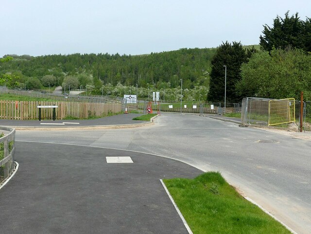
Image: © Alan Murray-Rust Taken: 14 May 2023
The as yet not fully completed link from Chase Farm onto Colliery Way, accessible only for contractors' vehicles – and pedestrians.
Images are licensed for reuse under creativecommons.org/licenses/by-sa/2.0
Image Location
Latitude
52.985977
Longitude
-1.089085