The foot of Browgate (B6151), Baildon
Introduction
The photograph on this page of The foot of Browgate (B6151), Baildon by Humphrey Bolton as part of the Geograph project.
The Geograph project started in 2005 with the aim of publishing, organising and preserving representative images for every square kilometre of Great Britain, Ireland and the Isle of Man.

There are currently over 7.5m images from over 14,400 individuals and you can help contribute to the project by visiting https://www.geograph.org.uk
The foot of Browgate (B6151), Baildon
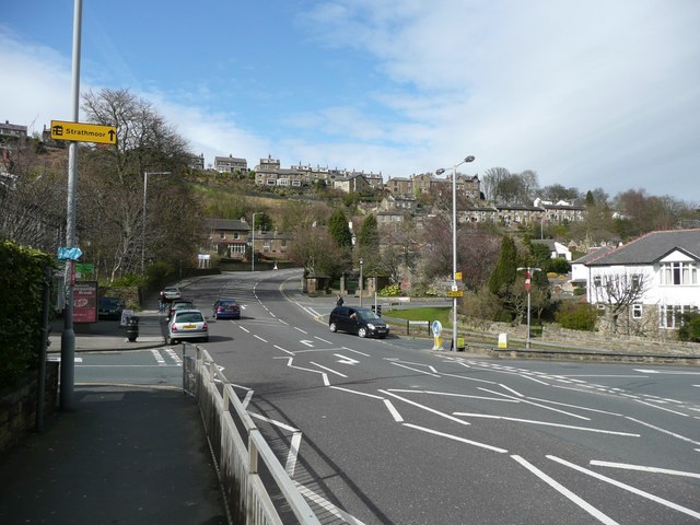
Image: © Humphrey Bolton Taken: 2 Apr 2008
The hill doesn't look bad from here, but round the corner it is 1 in 7. The trees on the left are horse chestnuts, and there are conkers on the road in the autumn. Baildon Bank is in the background.
Images are licensed for reuse under creativecommons.org/licenses/by-sa/2.0
Image Location
Latitude
53.849714
Longitude
-1.768916