Ashford Town Centre - Upper High Street
Introduction
The photograph on this page of Ashford Town Centre - Upper High Street by Adam Colton as part of the Geograph project.
The Geograph project started in 2005 with the aim of publishing, organising and preserving representative images for every square kilometre of Great Britain, Ireland and the Isle of Man.

There are currently over 7.5m images from over 14,400 individuals and you can help contribute to the project by visiting https://www.geograph.org.uk
Ashford Town Centre - Upper High Street
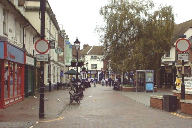
Image: © Adam Colton Taken: 6 Nov 2005
Shown on a rather dull Sunday morning, this street used to be the main A20 from London to Folkestone / Dover. Now lined with all the usual stores, there is a bandstand to the right of the photograph.
Images are licensed for reuse under creativecommons.org/licenses/by-sa/2.0
Image Location


Leaflet Map data © OpenStreetMap
Latitude
51.149464
Longitude
0.87095