Seymour Park Road, Marlow
Introduction
The photograph on this page of Seymour Park Road, Marlow by Andrew Smith as part of the Geograph project.
The Geograph project started in 2005 with the aim of publishing, organising and preserving representative images for every square kilometre of Great Britain, Ireland and the Isle of Man.

There are currently over 7.5m images from over 14,400 individuals and you can help contribute to the project by visiting https://www.geograph.org.uk
Seymour Park Road, Marlow
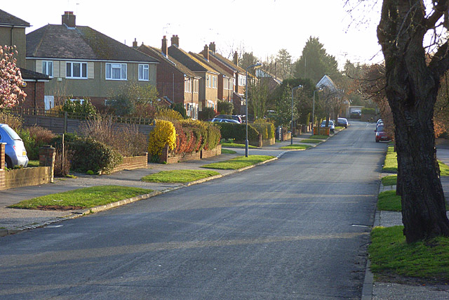
Image: © Andrew Smith Taken: 29 Mar 2008
In the residential area on the northern outskirts of the town. This is the eastern end of the road where private sector housing is in contrast to the (ex-)local authority houses at the western ends.
Images are licensed for reuse under creativecommons.org/licenses/by-sa/2.0
Image Location
Latitude
51.579977
Longitude
-0.776146