Footpath off Madam Lane
Introduction
The photograph on this page of Footpath off Madam Lane by s as part of the Geograph project.
The Geograph project started in 2005 with the aim of publishing, organising and preserving representative images for every square kilometre of Great Britain, Ireland and the Isle of Man.

There are currently over 7.5m images from over 14,400 individuals and you can help contribute to the project by visiting https://www.geograph.org.uk
Footpath off Madam Lane
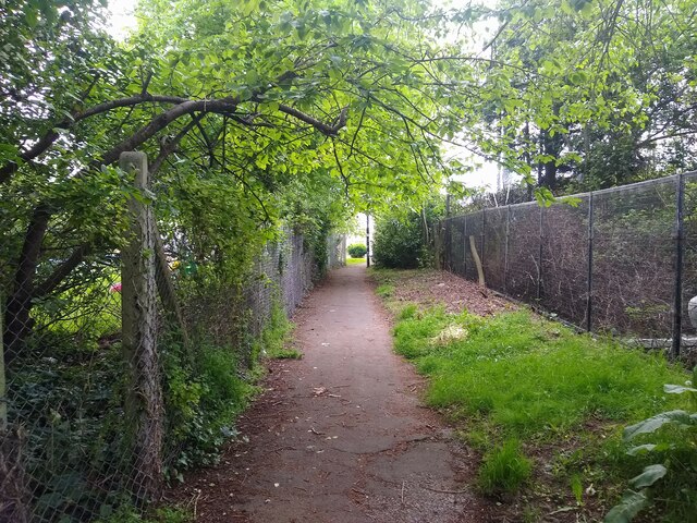
Image: © s Taken: 14 May 2023
This footpath links St Marks Road and Madam Lane. On the right is the site of The Poplars, which was demolished in 1981 to build the St Marks Road Telephone Exchange.
Images are licensed for reuse under creativecommons.org/licenses/by-sa/2.0
Image Location
Latitude
51.364007
Longitude
-2.918588