Pedestrian Crossing on the Queen's Way
Introduction
The photograph on this page of Pedestrian Crossing on the Queen's Way by s as part of the Geograph project.
The Geograph project started in 2005 with the aim of publishing, organising and preserving representative images for every square kilometre of Great Britain, Ireland and the Isle of Man.

There are currently over 7.5m images from over 14,400 individuals and you can help contribute to the project by visiting https://www.geograph.org.uk
Pedestrian Crossing on the Queen's Way
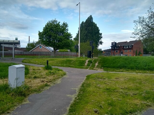
Image: © s Taken: 14 May 2023
This is the site of Madam Lane. This section of Madam Lane closed to motor traffic in 1979. The Queen's Way was built in 1977.
Images are licensed for reuse under creativecommons.org/licenses/by-sa/2.0
Image Location
Latitude
51.363362
Longitude
-2.919466