St Mary's Church, Great Chart
Introduction
The photograph on this page of St Mary's Church, Great Chart by Adam Colton as part of the Geograph project.
The Geograph project started in 2005 with the aim of publishing, organising and preserving representative images for every square kilometre of Great Britain, Ireland and the Isle of Man.

There are currently over 7.5m images from over 14,400 individuals and you can help contribute to the project by visiting https://www.geograph.org.uk
St Mary's Church, Great Chart
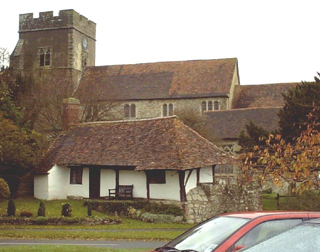
Image: © Adam Colton Taken: 6 Nov 2005
St Mary's Church overlooks this village, just outside Ashford, from the greensand ridge. The main street used to be the A28. The village was bypassed in the 1980s.
Images are licensed for reuse under creativecommons.org/licenses/by-sa/2.0
Image Location


Leaflet Map data © OpenStreetMap
Latitude
51.138698
Longitude
0.821814