North Worle District Centre from Wansbrough Roundabout
Introduction
The photograph on this page of North Worle District Centre from Wansbrough Roundabout by Sofia as part of the Geograph project.
The Geograph project started in 2005 with the aim of publishing, organising and preserving representative images for every square kilometre of Great Britain, Ireland and the Isle of Man.

There are currently over 7.5m images from over 14,400 individuals and you can help contribute to the project by visiting https://www.geograph.org.uk
North Worle District Centre from Wansbrough Roundabout
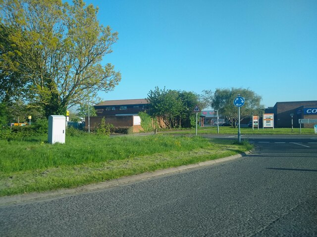
Image: © Sofia Taken: 13 May 2023
North Worle District Centre was built in 1977. The Parish Pump pub was built in 1980. It was named after a 16th century Worle pub with the same name.
Images are licensed for reuse under creativecommons.org/licenses/by-sa/2.0
Image Location
Latitude
51.363208
Longitude
-2.911505