Headley Drive
Introduction
The photograph on this page of Headley Drive by Ian Capper as part of the Geograph project.
The Geograph project started in 2005 with the aim of publishing, organising and preserving representative images for every square kilometre of Great Britain, Ireland and the Isle of Man.

There are currently over 7.5m images from over 14,400 individuals and you can help contribute to the project by visiting https://www.geograph.org.uk
Headley Drive
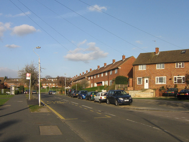
Image: © Ian Capper Taken: 1 Apr 2008
This part of New Addington has all its roads named after Surrey villages and physical features. For example, as well as Headley Drive itself, the road off to the right is Netley Close, off to the left by the phone box is Witley Crescent, and the housing in the distance is variously on Merrow Way, Claygate Crescent and Milford Green.
Images are licensed for reuse under creativecommons.org/licenses/by-sa/2.0
Image Location
Latitude
51.3532
Longitude
-0.014613