Field system - Hirgan Fields
Introduction
The photograph on this page of Field system - Hirgan Fields by Colin Cheesman as part of the Geograph project.
The Geograph project started in 2005 with the aim of publishing, organising and preserving representative images for every square kilometre of Great Britain, Ireland and the Isle of Man.

There are currently over 7.5m images from over 14,400 individuals and you can help contribute to the project by visiting https://www.geograph.org.uk
Field system - Hirgan Fields
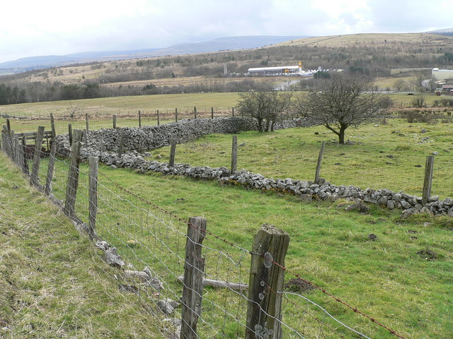
Image: © Colin Cheesman Taken: 31 Mar 2008
The photograph shows network of small fields with low stone walls topped by fencing that make up Hirgan Fields between Wells Farm and Hirgan Fach. This relict of small scale agriculture will be swept away when the A465 cuts through the area. In the near distance is Bryn Serth with Mynydd Carn y Cefn dominating the far horizon.
Images are licensed for reuse under creativecommons.org/licenses/by-sa/2.0
Image Location
Latitude
51.795551
Longitude
-3.244812