Tavistock Road looking South
Introduction
The photograph on this page of Tavistock Road looking South by s as part of the Geograph project.
The Geograph project started in 2005 with the aim of publishing, organising and preserving representative images for every square kilometre of Great Britain, Ireland and the Isle of Man.

There are currently over 7.5m images from over 14,400 individuals and you can help contribute to the project by visiting https://www.geograph.org.uk
Tavistock Road looking South
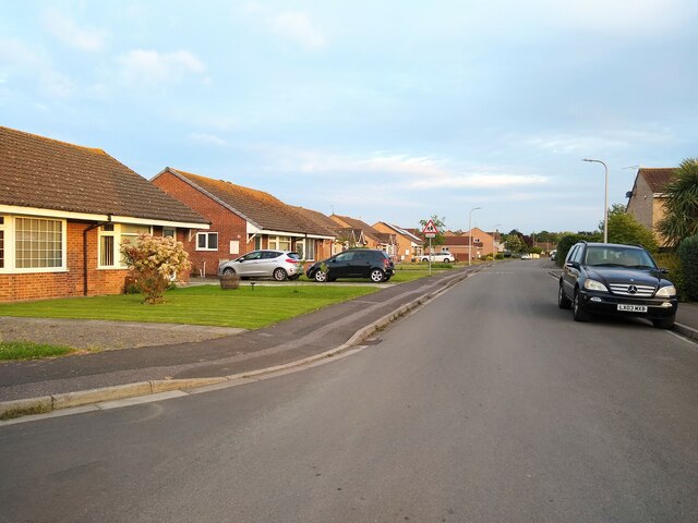
Image: © s Taken: 12 May 2023
Tavistock Road was built in 1966 from the widening of Ricketts Lane. The houses on the left were built in 1982. The houses on the right were built in 1975.
Images are licensed for reuse under creativecommons.org/licenses/by-sa/2.0
Image Location
Latitude
51.362461
Longitude
-2.915067