Grosvenor Road
Introduction
The photograph on this page of Grosvenor Road by DS Pugh as part of the Geograph project.
The Geograph project started in 2005 with the aim of publishing, organising and preserving representative images for every square kilometre of Great Britain, Ireland and the Isle of Man.

There are currently over 7.5m images from over 14,400 individuals and you can help contribute to the project by visiting https://www.geograph.org.uk
Grosvenor Road
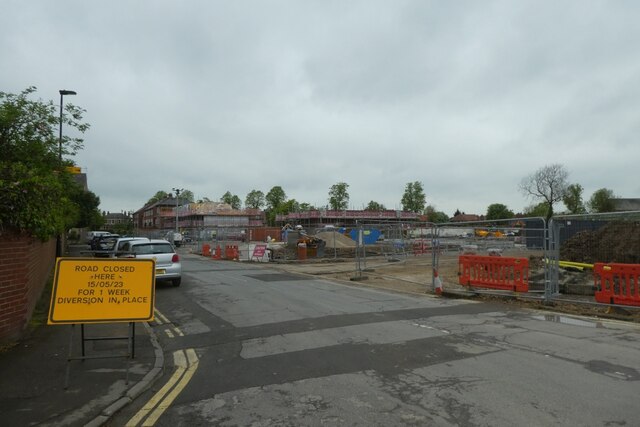
Image: © DS Pugh Taken: 8 May 2023
Looking along Grosvenor Road past the former Bootham Crescent football ground which has been demolished for housing.
Images are licensed for reuse under creativecommons.org/licenses/by-sa/2.0
Image Location
Latitude
53.968623
Longitude
-1.088225