The London Loop in Old Coulsdon
Introduction
The photograph on this page of The London Loop in Old Coulsdon by Marathon as part of the Geograph project.
The Geograph project started in 2005 with the aim of publishing, organising and preserving representative images for every square kilometre of Great Britain, Ireland and the Isle of Man.

There are currently over 7.5m images from over 14,400 individuals and you can help contribute to the project by visiting https://www.geograph.org.uk
The London Loop in Old Coulsdon
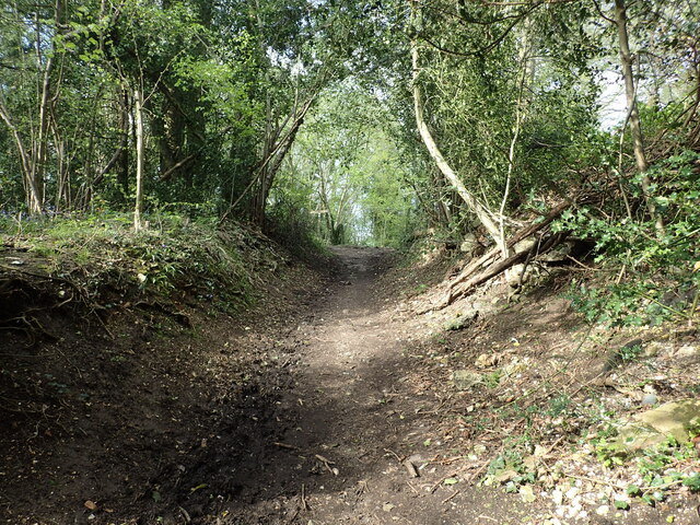
Image: © Marathon Taken: 4 May 2023
After a stretch of road walking, the Loop crosses Caterham Road before climbing up through woodland along this old sunken path called Waterhouse Lane. See also www.geograph.org.uk/photo/7474193
Images are licensed for reuse under creativecommons.org/licenses/by-sa/2.0
Image Location
Latitude
51.303239
Longitude
-0.103823