Whyteleafe Recreation Ground
Introduction
The photograph on this page of Whyteleafe Recreation Ground by Marathon as part of the Geograph project.
The Geograph project started in 2005 with the aim of publishing, organising and preserving representative images for every square kilometre of Great Britain, Ireland and the Isle of Man.

There are currently over 7.5m images from over 14,400 individuals and you can help contribute to the project by visiting https://www.geograph.org.uk
Whyteleafe Recreation Ground
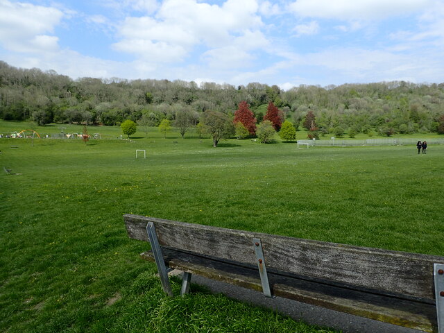
Image: © Marathon Taken: 4 May 2023
Whyteleafe Recreation Ground is an open space near Warlingham with tennis courts, a children's playground and multi-use open grass space. It is the largest park managed by Tandridge District Council and considered one of the most diverse parks in Surrey, with its open space, woodland, common and grazing land and important south-facing natural chalk grassland. The path up through the woods can be seen in the centre of the picture which path reaches the top at Tithepit Shaw Lane - see www.geograph.org.uk/photo/7480445
Images are licensed for reuse under creativecommons.org/licenses/by-sa/2.0
Image Location
Latitude
51.313189
Longitude
-0.074284