The Teardrop Lakes, Milton Keynes
Introduction
The photograph on this page of The Teardrop Lakes, Milton Keynes by Stephen McKay as part of the Geograph project.
The Geograph project started in 2005 with the aim of publishing, organising and preserving representative images for every square kilometre of Great Britain, Ireland and the Isle of Man.

There are currently over 7.5m images from over 14,400 individuals and you can help contribute to the project by visiting https://www.geograph.org.uk
The Teardrop Lakes, Milton Keynes
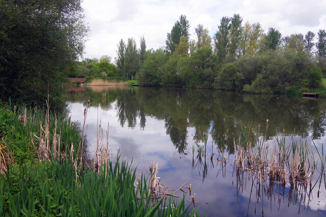
Image: © Stephen McKay Taken: 10 May 2023
This is one of four Teardrop Lakes, named for their shape. They act as balancing ponds, preventing flooding of the surrounding urban area following storms, but are also an important part of Milton Keynes' network of parks.
Images are licensed for reuse under creativecommons.org/licenses/by-sa/2.0
Image Location
Latitude
52.023316
Longitude
-0.764521