The A693, Oxhill, Stanley
Introduction
The photograph on this page of The A693, Oxhill, Stanley by Graham Robson as part of the Geograph project.
The Geograph project started in 2005 with the aim of publishing, organising and preserving representative images for every square kilometre of Great Britain, Ireland and the Isle of Man.

There are currently over 7.5m images from over 14,400 individuals and you can help contribute to the project by visiting https://www.geograph.org.uk
The A693, Oxhill, Stanley
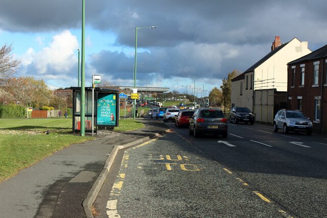
Image: © Graham Robson Taken: 28 Oct 2018
A busy road for traffic coming and going to and from Stanley town centre. A layby has been provided for buses dropping off and pickup passengers at the bus stop.
Images are licensed for reuse under creativecommons.org/licenses/by-sa/2.0
Image Location
Latitude
54.86612
Longitude
-1.708927