Public footpath at the northern edge of Laleston
Introduction
The photograph on this page of Public footpath at the northern edge of Laleston by eswales as part of the Geograph project.
The Geograph project started in 2005 with the aim of publishing, organising and preserving representative images for every square kilometre of Great Britain, Ireland and the Isle of Man.

There are currently over 7.5m images from over 14,400 individuals and you can help contribute to the project by visiting https://www.geograph.org.uk
Public footpath at the northern edge of Laleston
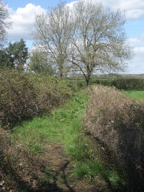
Image: © eswales Taken: 25 Apr 2023
A public footpath which has begun at a spot on Wind Street passes between a hedge and a mass of brambles and other vegetation on its way to Roger’s Lane.
Images are licensed for reuse under creativecommons.org/licenses/by-sa/2.0
Image Location
Latitude
51.50944
Longitude
-3.625005