Seaford branch line west of Claremont Road
Introduction
The photograph on this page of Seaford branch line west of Claremont Road by Robin Webster as part of the Geograph project.
The Geograph project started in 2005 with the aim of publishing, organising and preserving representative images for every square kilometre of Great Britain, Ireland and the Isle of Man.

There are currently over 7.5m images from over 14,400 individuals and you can help contribute to the project by visiting https://www.geograph.org.uk
Seaford branch line west of Claremont Road
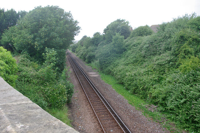
Image: © Robin Webster Taken: 15 Jul 2010
A single track line opened in 1864, from 1904 until 1975 it was double track.
Images are licensed for reuse under creativecommons.org/licenses/by-sa/2.0
Image Location
Latitude
50.776603
Longitude
0.090543