OS Benchmark
Introduction
The photograph on this page of OS Benchmark by David Bremner as part of the Geograph project.
The Geograph project started in 2005 with the aim of publishing, organising and preserving representative images for every square kilometre of Great Britain, Ireland and the Isle of Man.

There are currently over 7.5m images from over 14,400 individuals and you can help contribute to the project by visiting https://www.geograph.org.uk
OS Benchmark
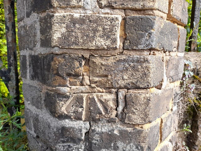
Image: © David Bremner Taken: 9 May 2023
Recorded on Benchmark Database as 'Bury St Edmunds, Bridge Over River Lark'.
Images are licensed for reuse under creativecommons.org/licenses/by-sa/2.0
Image Location
Latitude
52.246461
Longitude
0.72067