Strawberry Lane
Introduction
The photograph on this page of Strawberry Lane by Ian Capper as part of the Geograph project.
The Geograph project started in 2005 with the aim of publishing, organising and preserving representative images for every square kilometre of Great Britain, Ireland and the Isle of Man.

There are currently over 7.5m images from over 14,400 individuals and you can help contribute to the project by visiting https://www.geograph.org.uk
Strawberry Lane
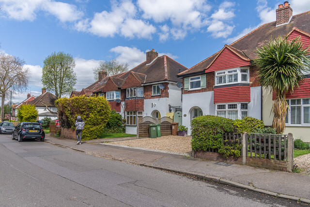
Image: © Ian Capper Taken: 25 Apr 2023
Semi-detached houses in Strawberry Lane, a road partially developed on the 1935 25 inch map, including these.
Images are licensed for reuse under creativecommons.org/licenses/by-sa/2.0
Image Location
Latitude
51.372966
Longitude
-0.161691