NCR 46, Cwm Nant-gam
Introduction
The photograph on this page of NCR 46, Cwm Nant-gam by M J Roscoe as part of the Geograph project.
The Geograph project started in 2005 with the aim of publishing, organising and preserving representative images for every square kilometre of Great Britain, Ireland and the Isle of Man.

There are currently over 7.5m images from over 14,400 individuals and you can help contribute to the project by visiting https://www.geograph.org.uk
NCR 46, Cwm Nant-gam
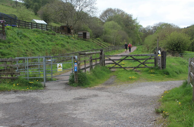
Image: © M J Roscoe Taken: 7 May 2023
Cycle and pedestrian path on trackbed of former railway at former crossing, opposite Crossing Cottage Image; to the right a bridle path Image leaves the end of the highway, Buttercup Lane.
Images are licensed for reuse under creativecommons.org/licenses/by-sa/2.0
Image Location
Latitude
51.80353
Longitude
-3.150035