Osmotherley, Woodside Farm
Introduction
The photograph on this page of Osmotherley, Woodside Farm by Mel Towler as part of the Geograph project.
The Geograph project started in 2005 with the aim of publishing, organising and preserving representative images for every square kilometre of Great Britain, Ireland and the Isle of Man.

There are currently over 7.5m images from over 14,400 individuals and you can help contribute to the project by visiting https://www.geograph.org.uk
Osmotherley, Woodside Farm
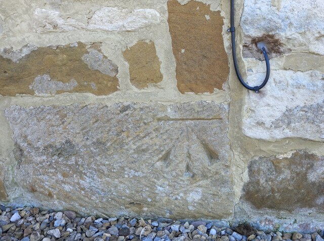
Image: © Mel Towler Taken: 3 Apr 2023
The benchmark is cut into the north-west facing wall of the converted buildings.
Images are licensed for reuse under creativecommons.org/licenses/by-sa/2.0
Image Location
Latitude
54.364254
Longitude
-1.287256